NAIR Center is taking part in this project by designing the characterisation of the study catchments in relation to flood risk and developing AI tools for early warnings, thereby supporting the creation and implementation of new municipal emergency plans.
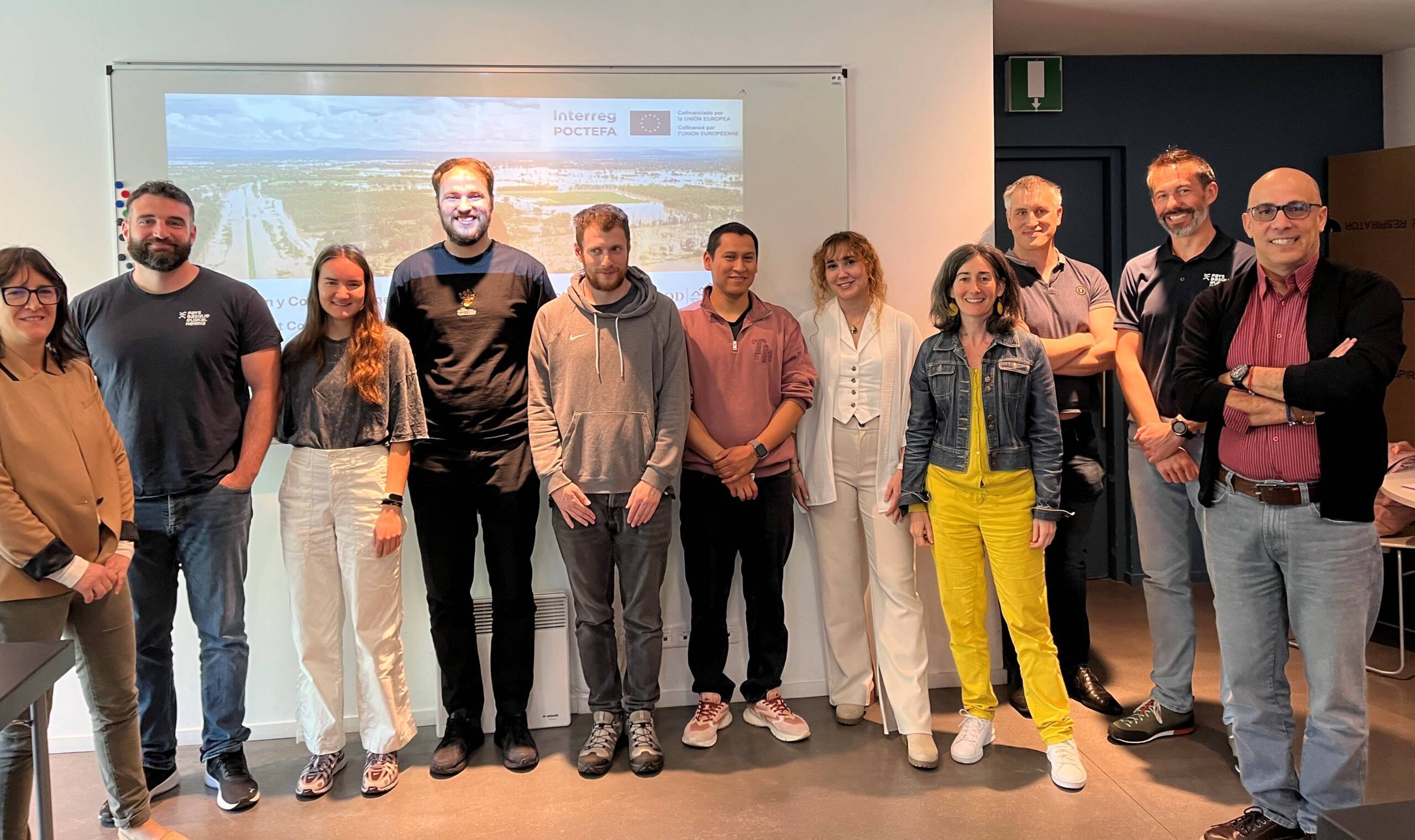
On 29 April 2025, the partners of the AI4FLOOD project, co-funded by the European Interreg POCTEFA 2021–2027 programme, met at the headquarters of the Syndicat Mixte de l’Usine de la Nive (France) to review progress on Action 4: the design and development of AI tools for early warnings.
During this technical session, highly relevant results were presented for flood prevention in the Nive, Nivelle, Urola and Cidacos catchments, on both the French and Spanish sides of the cross-border territory.
Data, sensors and municipal involvement
From the Communauté d’Agglomération Pays Basque (CAPB), the results were shared of a questionnaire sent to 60 French municipalities. The findings showed a high level of local awareness, but also highlighted the need to update emergency plans and strengthen communication. In addition, the future installation was announced of three strategically located rain gauges in key areas, where rainfall directly influences the flow of the Nive and Nivelle rivers.
On the Spanish side, Tesicnor identified a critical point beneath a railway level crossing in Tafalla, where there is a risk of water accumulation; this location is currently under study for the possible installation of sensors.

AI-based forecasting models
NAIR Center presented results from LSTM (Long Short-Term Memory) models applied to the Urola, Nive and Nivelle rivers, showing a high degree of accuracy in flow forecasting and strong potential for generating early warnings. Tesicnor also presented advances in AI applied to radar imagery, the classification of rainfall types and real-time precipitation estimation (QPE), integrating various forecasting approaches.
Next-generation hydraulic simulation
CEREMA and SIXENSE presented progress in hydraulic simulation using traditional approaches (HEC-RAS) and new GPU-based methods such as Lattice-Boltzmann, capable of simulating 48 hours of river dynamics in just 9 minutes. In addition, reduced-order models based on neural networks (CNN, LSTM, MLP) are being developed, achieving comparable results in just 3 seconds—an important step forward for operational use on emergency-management platforms.
Next steps
The consortium agreed to continue integrating the different developments in real-world environments and to harmonise methodologies across territories. A new six-monthly meeting is planned for June to delve deeper into technical and coordination matters.